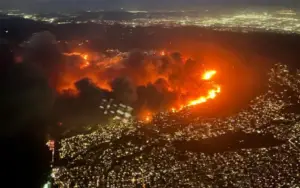
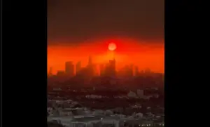
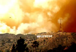
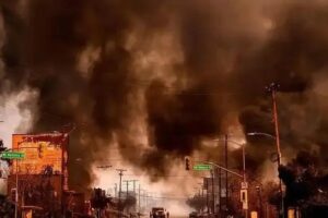
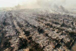
Los Angeles i okolni okrug Ventura pogođeni su s pet aktivnih požara, od kojih su dva najveća, Iton i Palisad, i dalje van kontrole. Više od 130.000 ljudi je evakuisano.
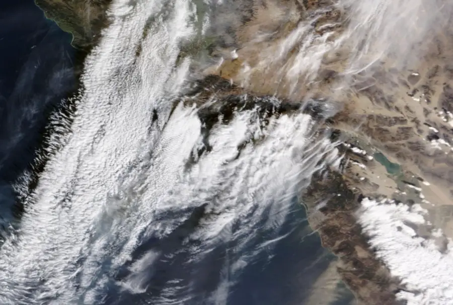
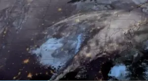
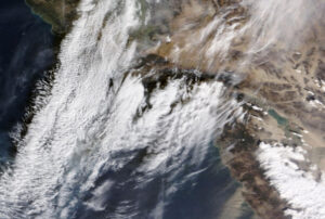
NASA je objavila snimak na kojem se vidi dim koji se diže iznad grada.
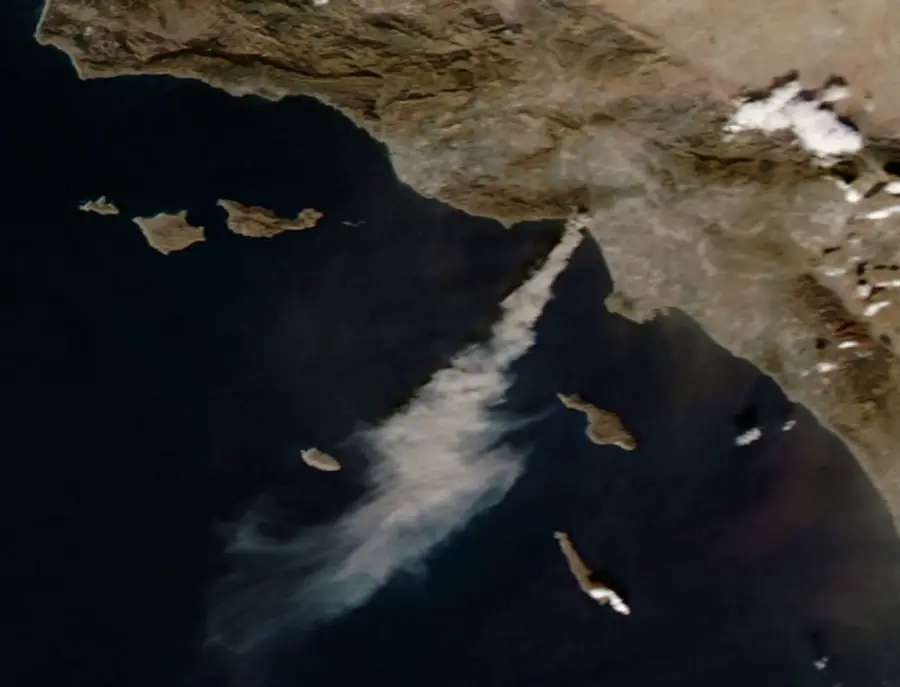
New satellite images from Maxar Technologies reveal the extensive damage caused by the Palisades and Eaton wildfires in Los Angeles. pic.twitter.com/cJRY1h8RQX
— Volcaholic 🌋 (@volcaholic1) January 9, 2025
ABD merkezli iletişim uyduları yapan teknoloji şirketi Maxar, Los Angeles'i kasıp kavuran orman yangınları öncesi ve sonrası çekilen çarpıcı görüntüleri paylaştı. pic.twitter.com/A23HkUATmw
— Milena (@josephineVV5) January 9, 2025
Požari su uništili gotovo 26.400 hektara zemlje, a razmjeri katastrofe još su jasniji kad se pogledaju satelitski snimci prije i poslije.
JUST IN: Maxar, a commercial imaging firm, captured the destruction of the Los Angeles fires on Wednesday afternoon. The satellite imagery reveals how entire neighborhood blocks were completely burned. The following shows destroyed houses near Marathon Road in Altadena,… pic.twitter.com/qg3f0ydWuW
— Wigwam Press (@WigwamPress) January 9, 2025
Požari su zahvatili područje od oko 42 kvadratna kilometra.
